The vanished coal settlements of the Buller plateau
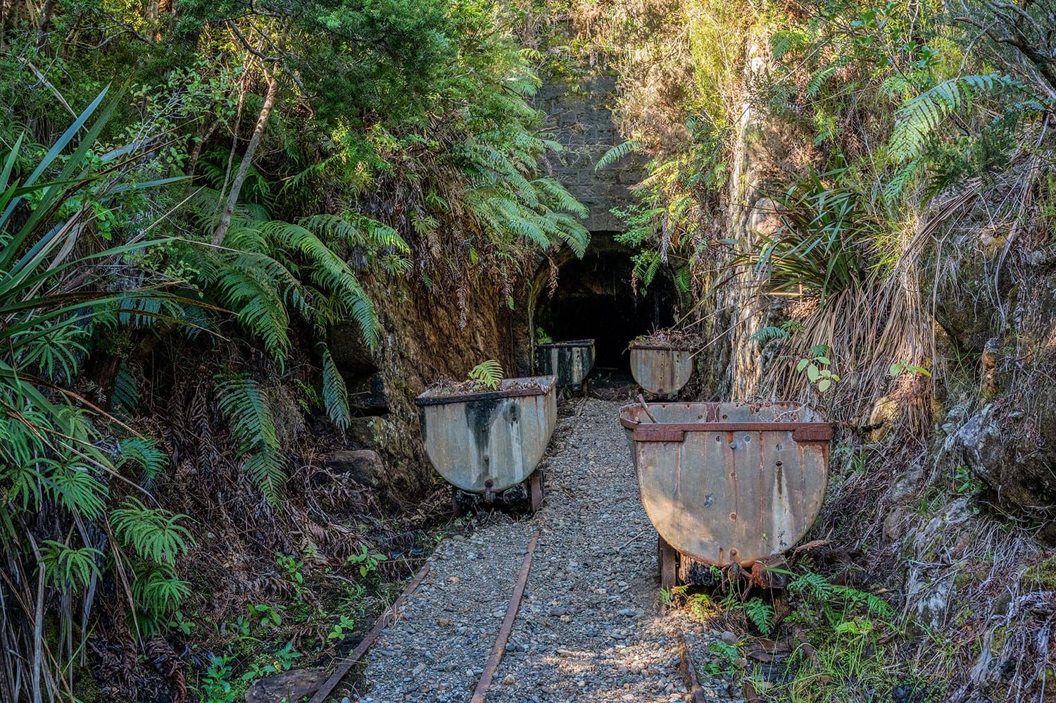
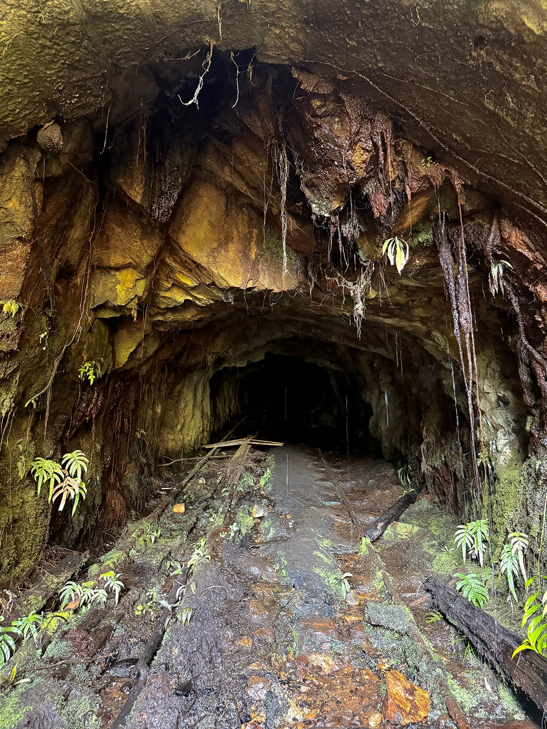
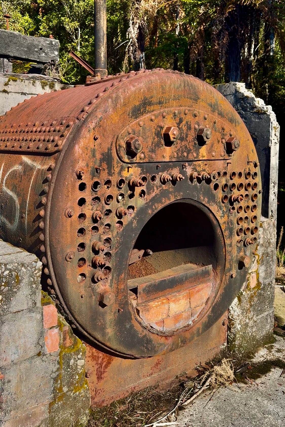
Walking through Millerton, you wish someone who lived here could walk beside you and point things out. There are traces of the old town everywhere, but no one to tell you what you’re looking at. The tunnels are still there. So are the rusted relics, half swallowed by ferns and moss. Some things have been left where they stood. Others are almost gone.
I stood at the old bathhouse, trying to imagine the machinery and the workers talking after a long day. None of that noise remained. Birds called all around me, and somewhere close by, water ran over the rocks.
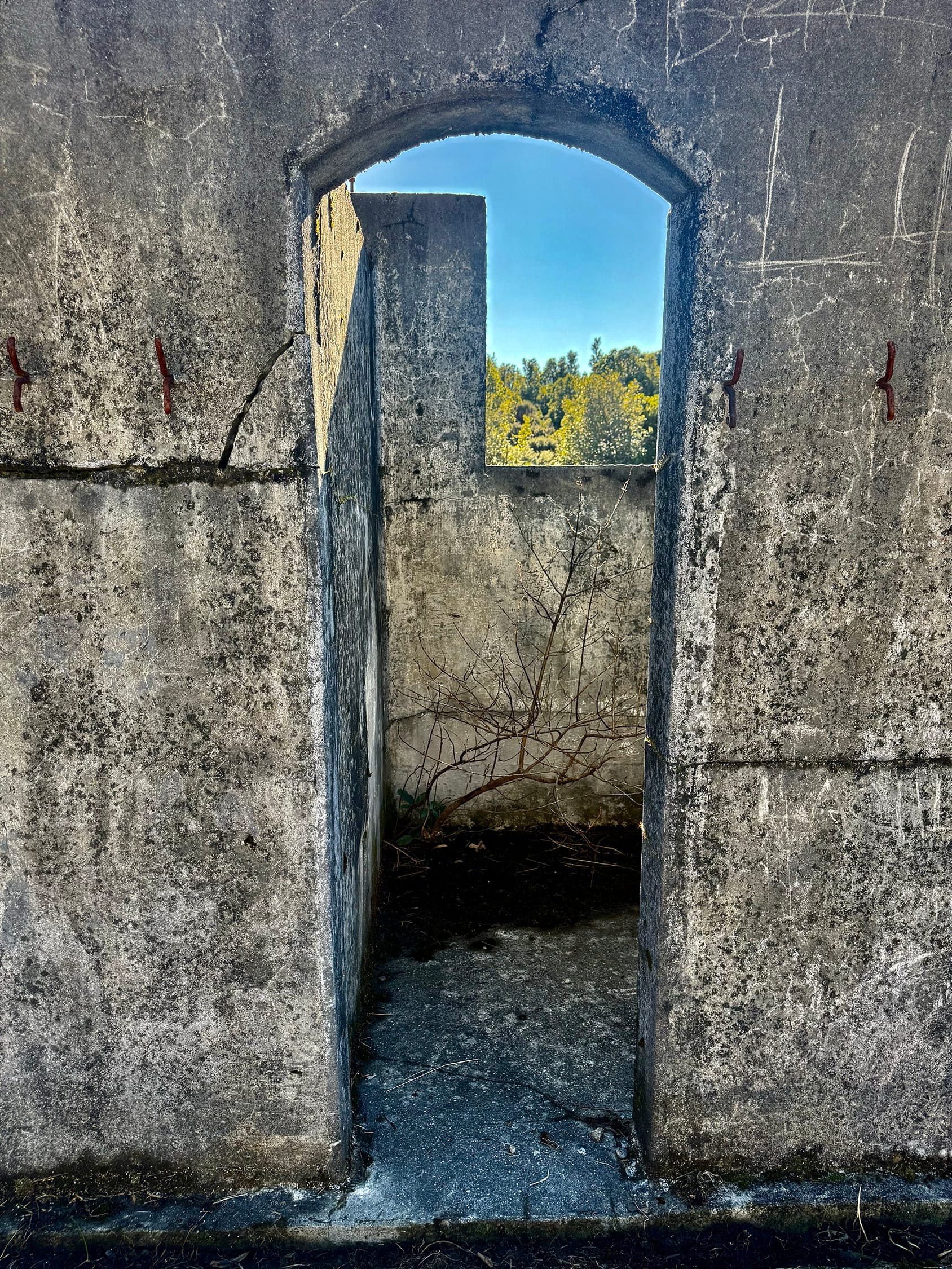
Someone had scratched names into the concrete of the bathhouse. The marks looked recent. Ferns and moss were growing over the old workings, and rust had taken hold of the metal. That felt like part of the place now. The names were different. Someone had come here, seen what was left, and decided to leave their mark on it. Of everything I saw at Millerton, that was what made me saddest.
I wasn’t alone the whole time. Another woman was at the bathhouse, and we got talking. Her grandfather had worked at Millerton. She pointed to one of the cubicles and told me she had a photograph of him standing right there, with the same concrete frame behind him.
Then she said she wished she’d listened more when her mother talked about him. Her mother had stories to tell, but at the time there always seemed to be another chance to hear them. Now she couldn’t ask again. She had the photograph, and she could still stand in the place where he’d stood. She wishes she had more of the story now.
What the plateau was built for
Millerton was named for H. J. Miller of the Westport Coal Company. The coal was up on the plateau; the problem was getting it down. In 1891, the company built an incline that lowered coal tubs to the bins at Granity. The mine began producing coal in 1896.
A town grew around it. Miners brought their families. There were houses, shops, churches, a post office, a library and a doctor’s surgery. People made a life on the hill, far beyond their hours at the mine.
The Millerton All Blacks football club reached the Chatham Cup final in both 1932 and 1933. There was a bowling club, and films were shown at Peggie’s Hall. William McIntyre, a miner from Millerton, served in the Legislative Council from 1921 until his death in 1949. He had come to the hill to work coal and ended up with a seat in Parliament.
The work leaves, and the town doesn’t quite
Mining at Millerton ended in 1969. Underground fires had made the work harder, and by then the town was already much smaller than it had been. Other mining settlements across Buller had shrunk too. Denniston had once been home to more than 1,300 people. By 1981, only four lived there.
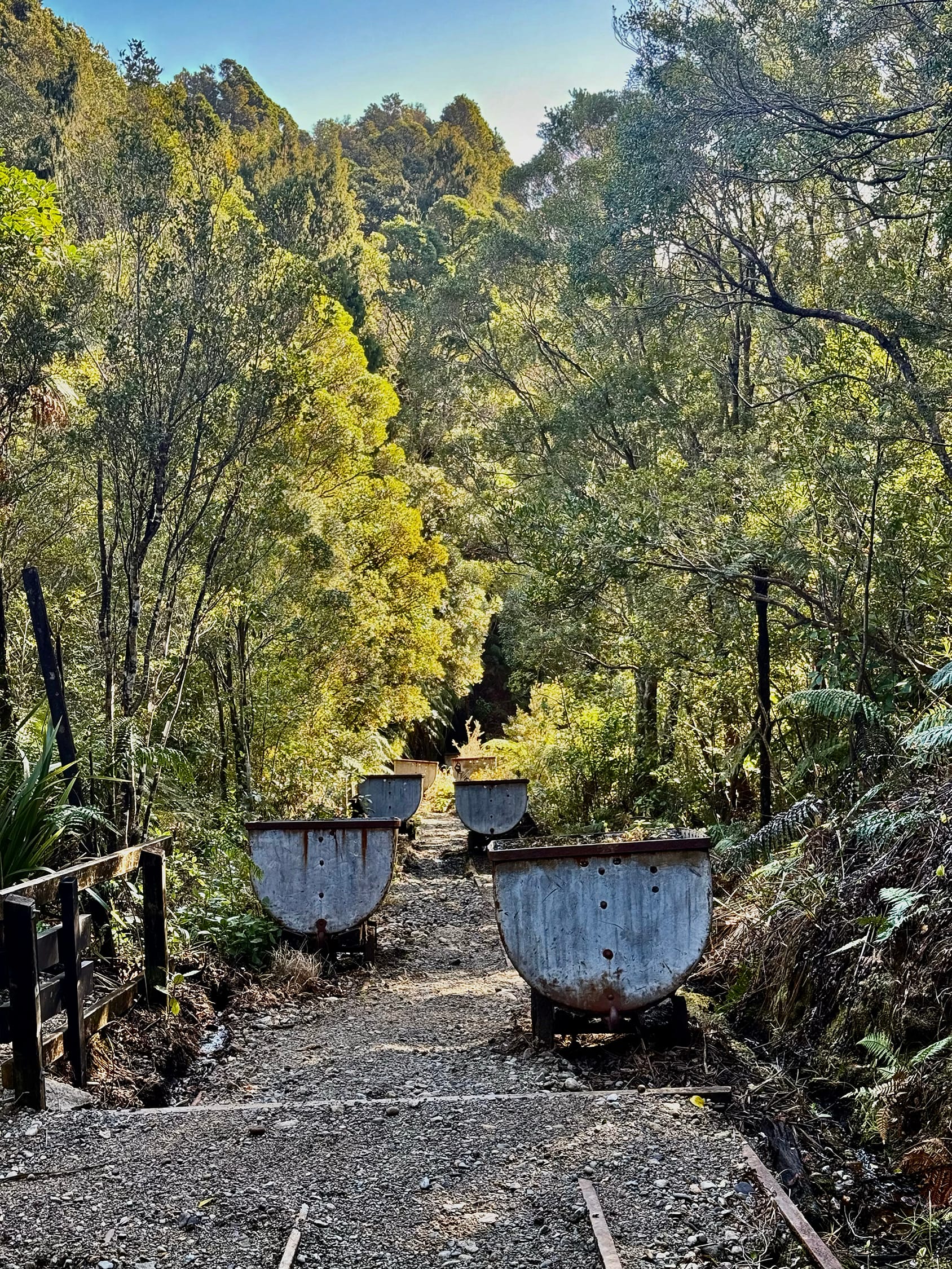
Millerton was called a ghost town in the 1970s, but it never quite emptied. People stayed. Houses remained, along with the bathhouse, old coal tubs and sections of the incline that had carried coal down the hill. Ferns and moss grew around what was left.
The great wooden bins at Granity, where the coal once arrived, are gone. Up at Millerton, I could still follow part of the incline and see the bathhouse where miners washed after their shifts. I wondered who had worked the last day here, and whether anyone leaving that evening imagined people would still be walking among these remains decades later.
What’s still missing from this story
Before I finish this piece, I want to speak again with the woman I met at the bathhouse. I know her grandfather stood in one of those cubicles because she has a photograph of him there. I know she wishes she had listened more closely when her mother talked about him. There may be more she wants to tell me, but I don’t want to guess at the rest.
For now, I keep thinking about that photograph. Millerton’s mine closed nearly sixty years ago, but the cubicle is still there. She could point to the exact place her grandfather stood. I wonder what she’ll remember when we talk again.
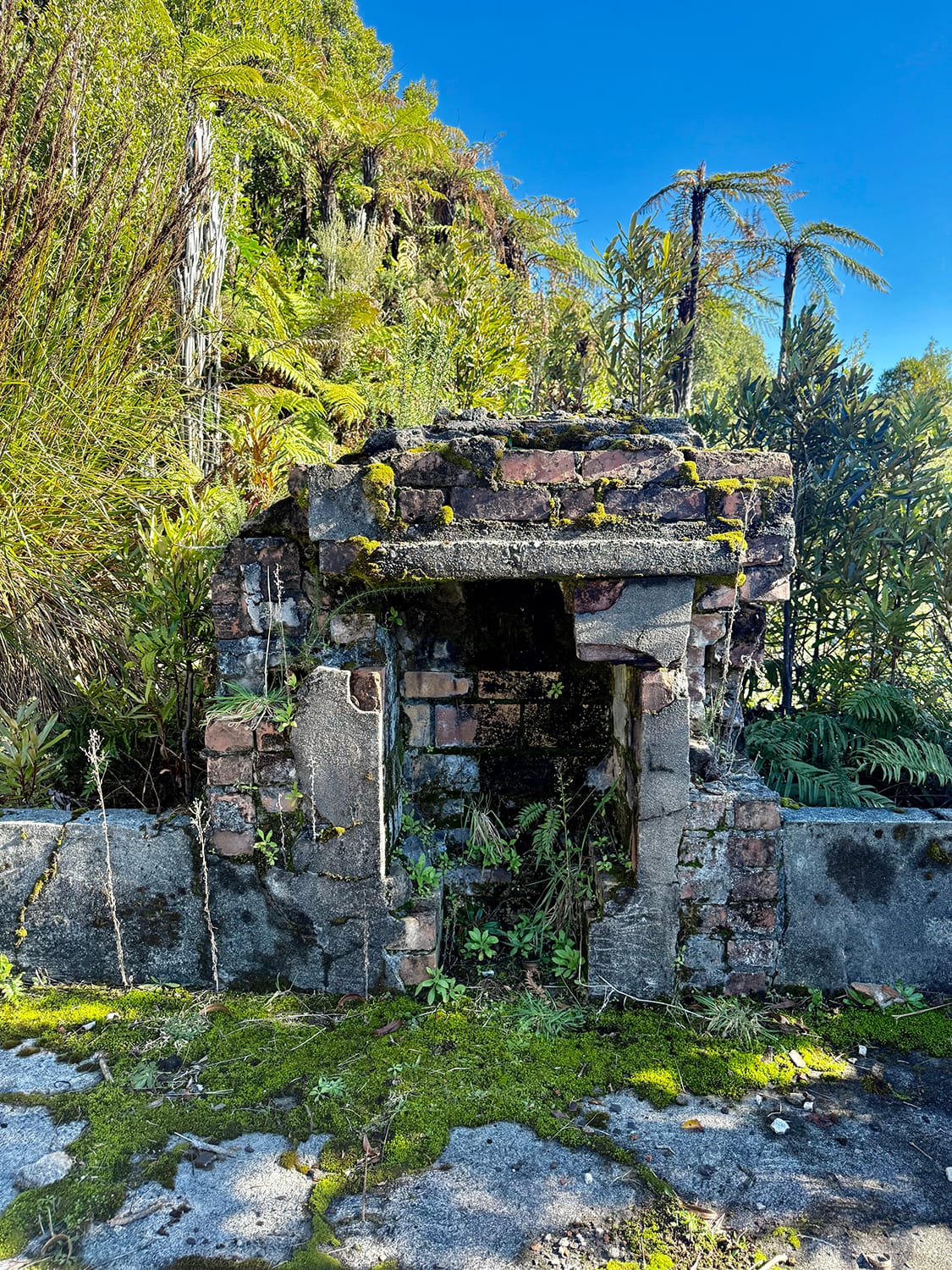
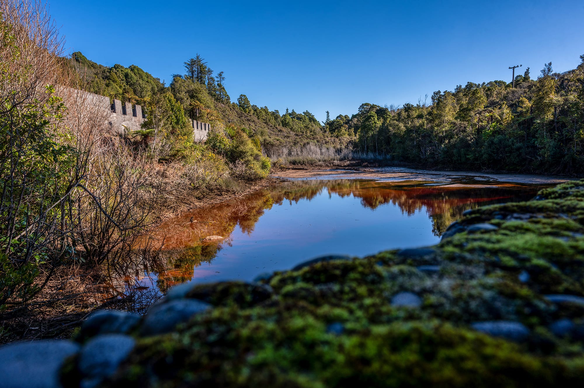
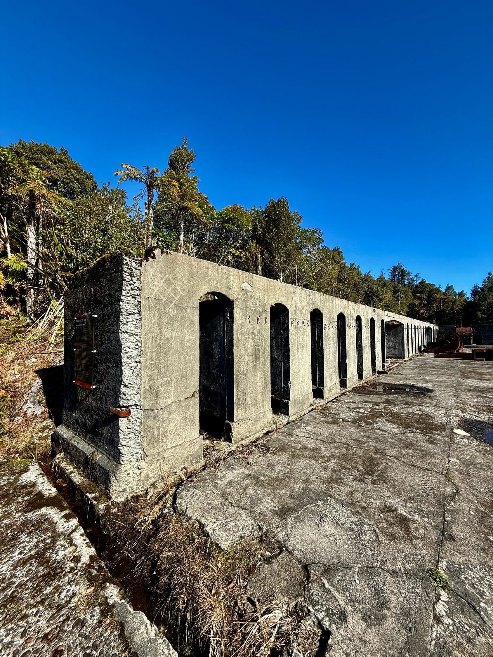
Millerton Bathhouse and Incline remains
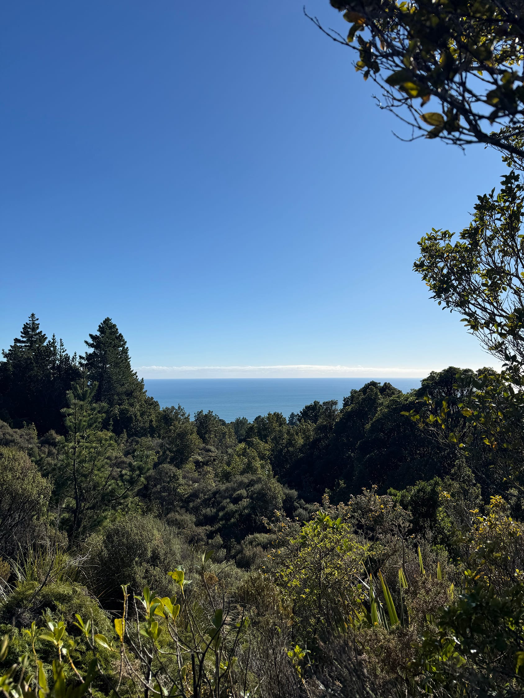
View Point from the closed off section of Millerton Road
Travel Guide
Millerton is reached via SH67 from Westport, about half an hour north through Waimangaroa and Granity. The road up is windy and climbs high to the plateau. The road almost at the top, is the end of the Alpine faultline, this is really interesting to see the layers of stone.
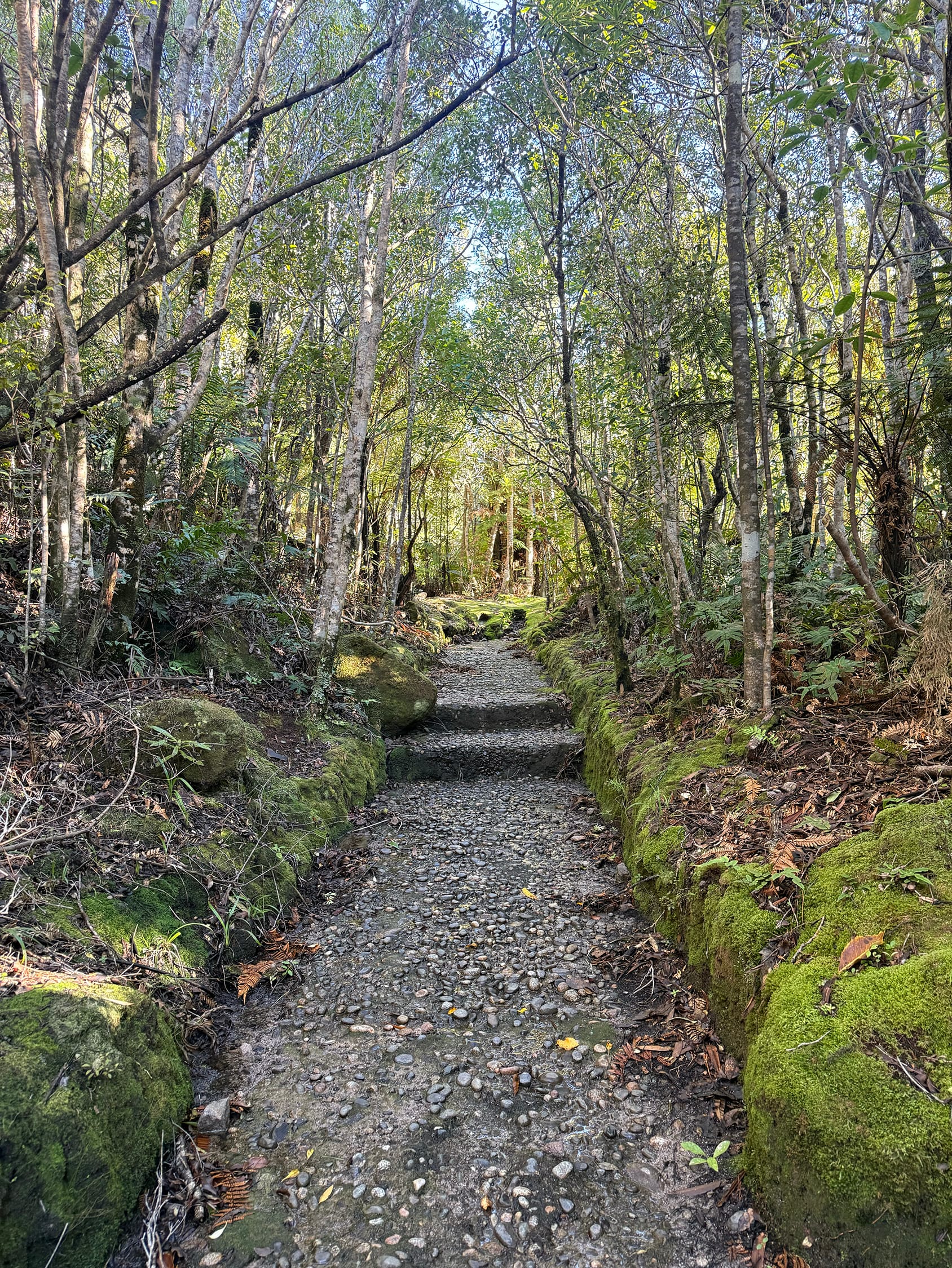
The Millerton Bathhouse is well signed and you can freely roam around the area. If you're feeling fit, you can climb the steps up through cleared bushland to discover, mountain views and a section of tunnel and rusty relics. The steps and forest paths are well looked after. They are steep in places.
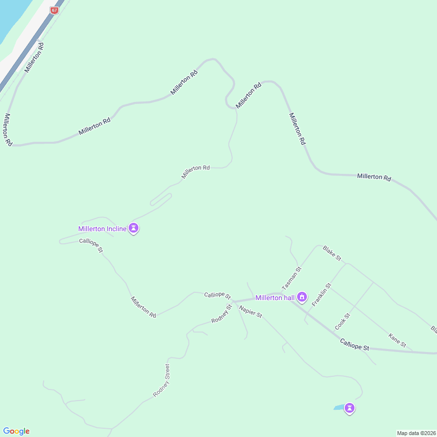
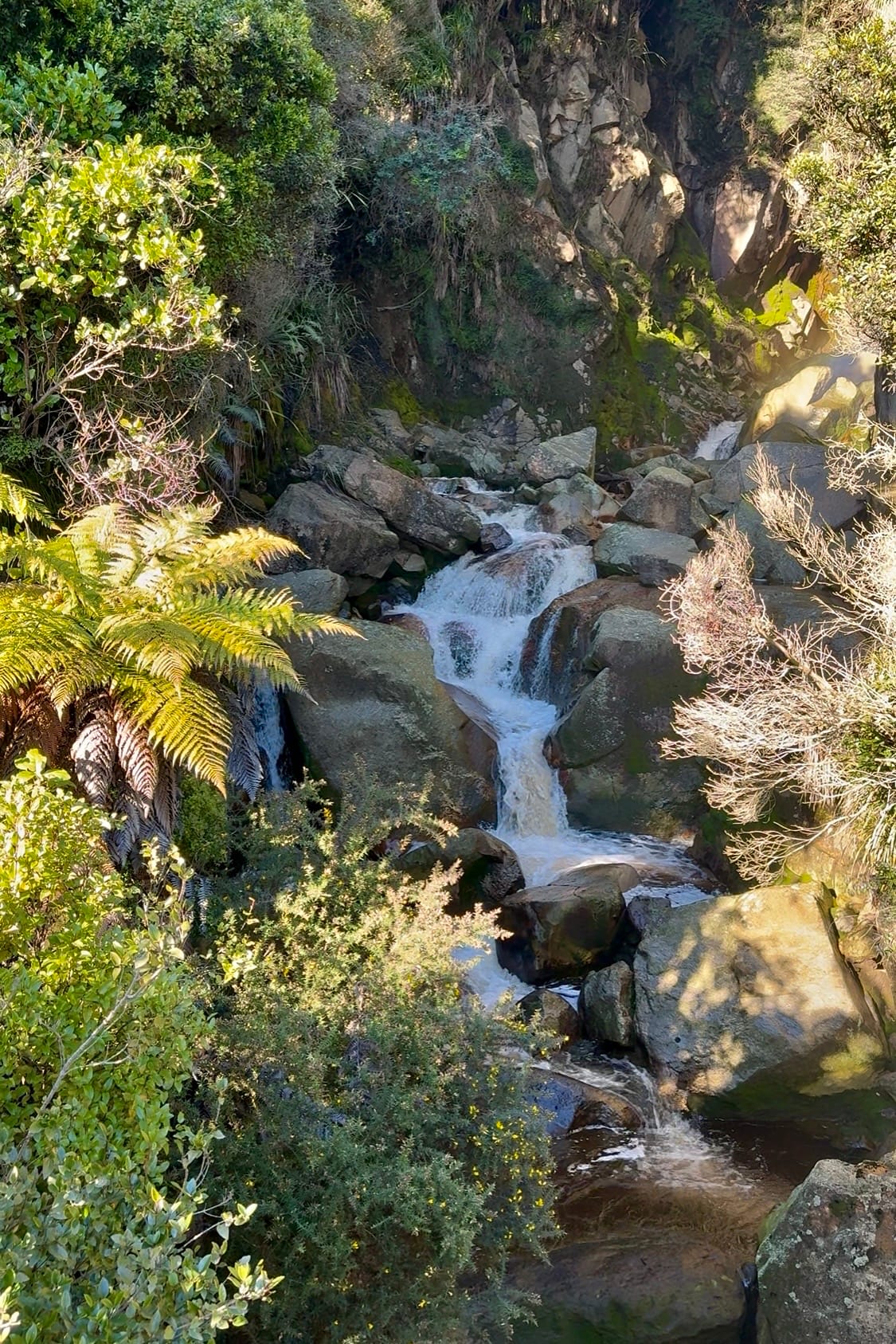
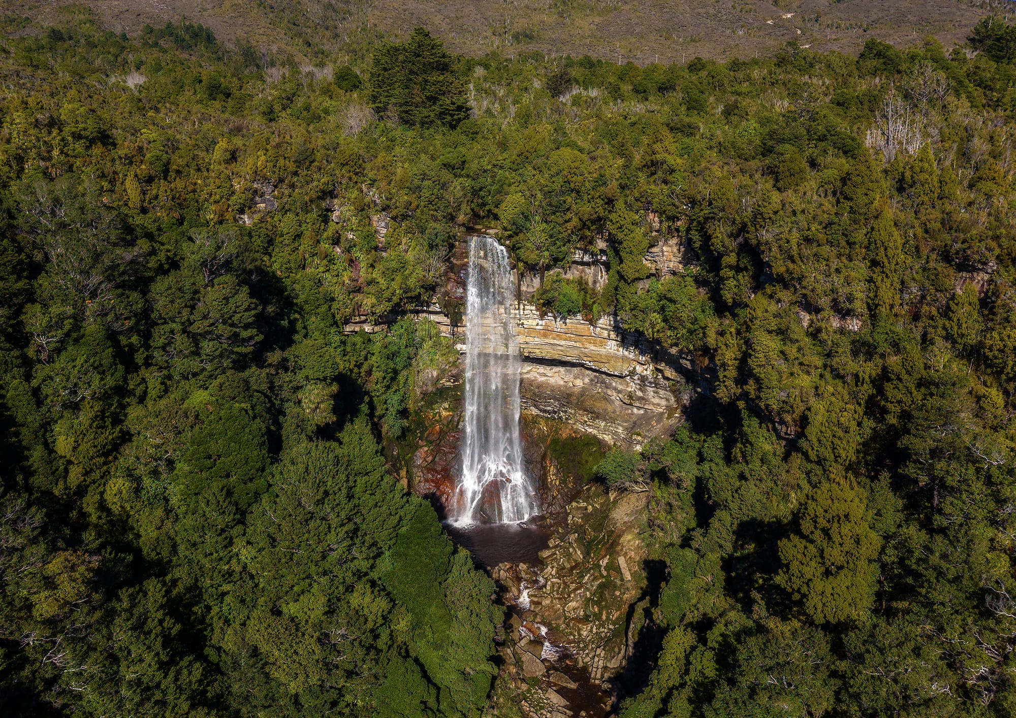
The Millerton Incline walk begins near the old township. Take Calliope Street/Millerton Road to follow a well kept track and boardwalks through lush forest and a small waterfall to the incline. Here you will see the old coal bins, on their old rusty tracks and the tunnels.
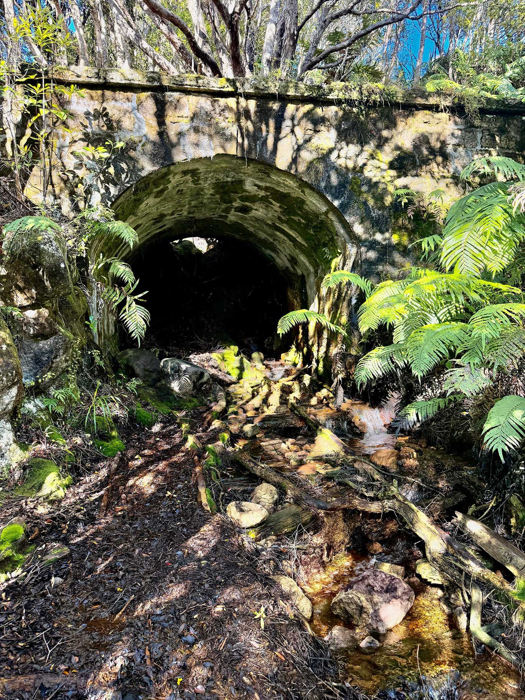
Well worth the stop before you reach the plateau, you can turn off the main road, to a separate walk which follows the old, closed section of Millerton Road no longer open to cars. On foot you can cross an old bridge with sweeping views over Buller Bay and the Tasman Sea, with a waterfall visible from the bridge itself. You can continue on a steep and windy walk up to the same incline, but recommend good foot ware and fair fitness level. There is also a level of danger of slips, so we don't recommend walking this off the beaten track.